I'M NOT LIKE YOU GUYS
Reading, writing, and trying to think clearly about a very strange documented record. The materials are here.
Where to begin
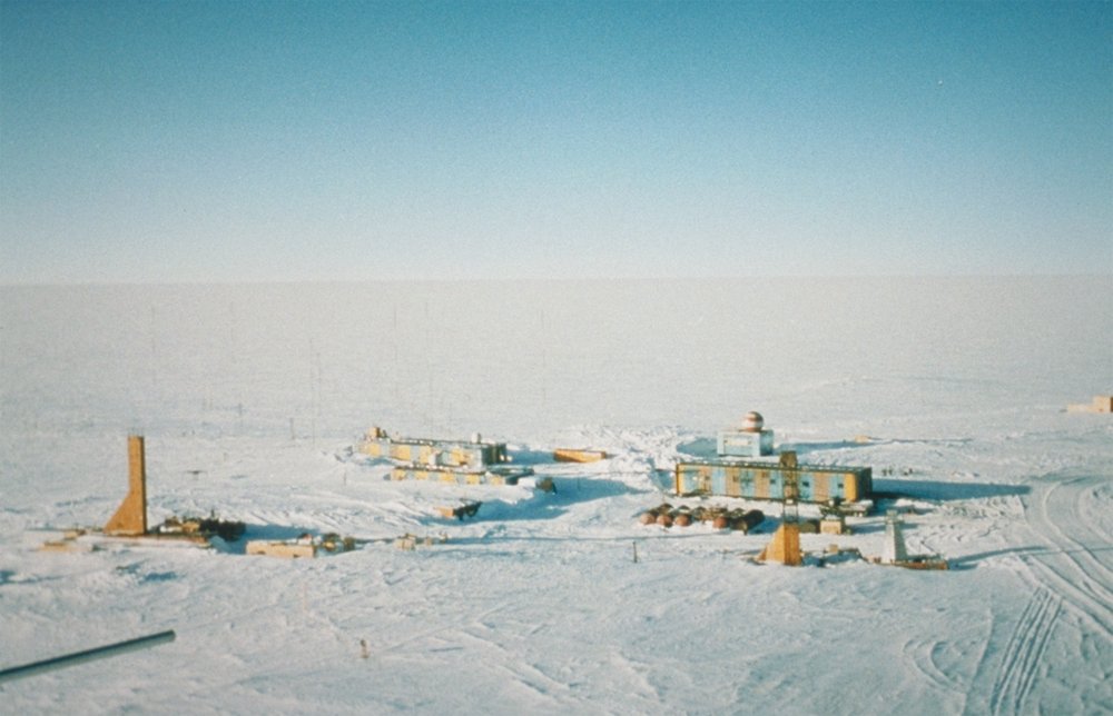
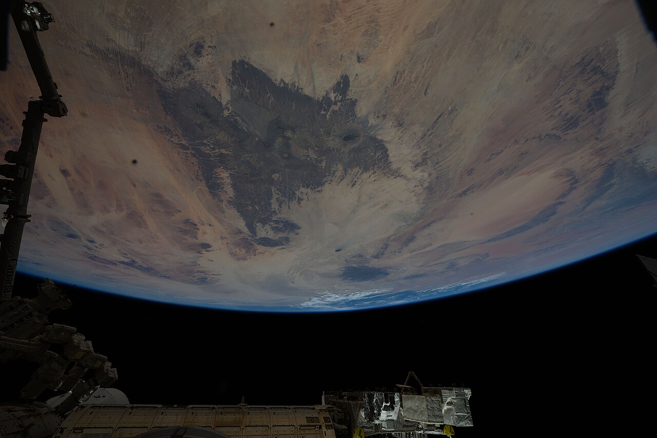
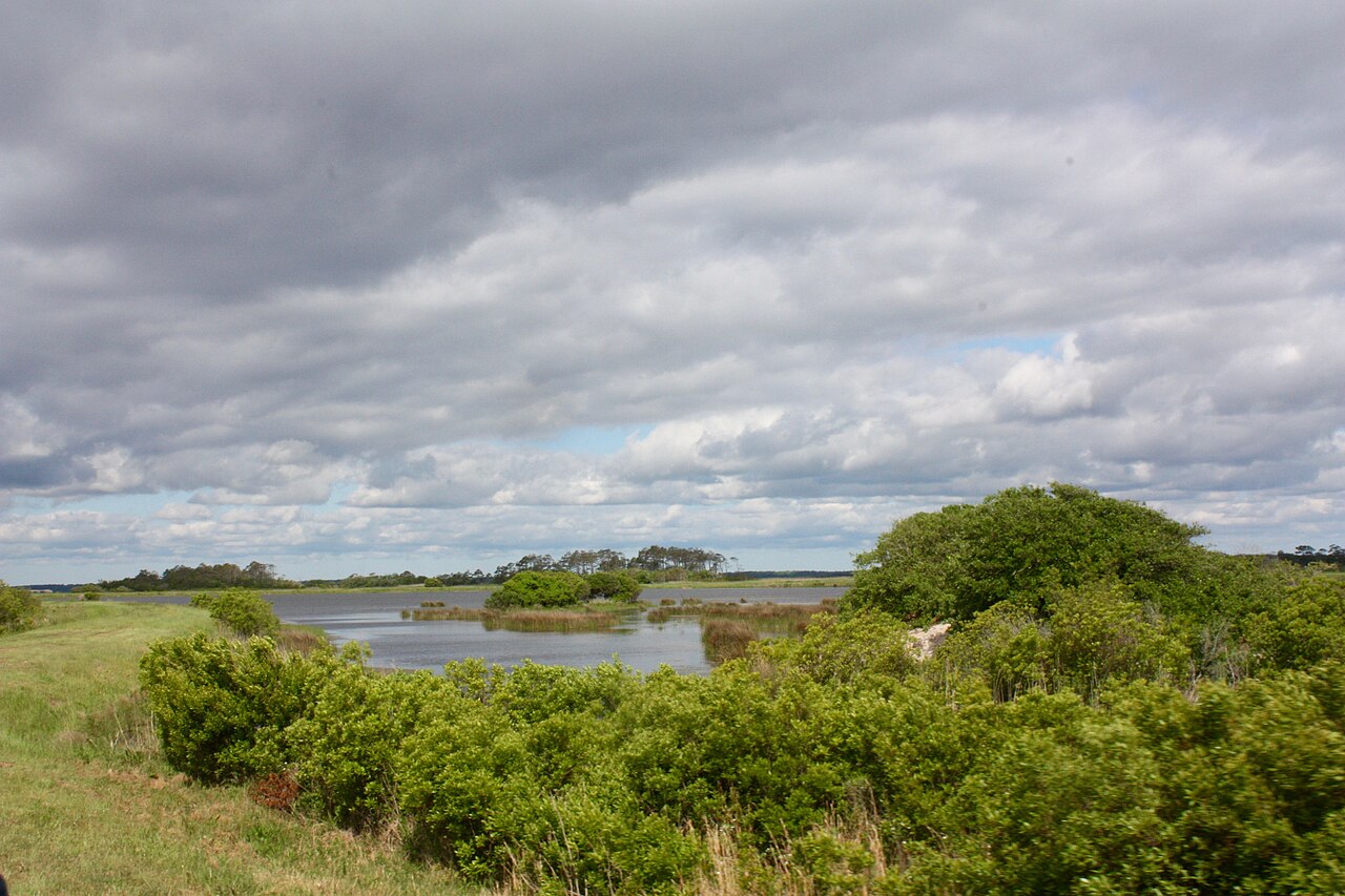
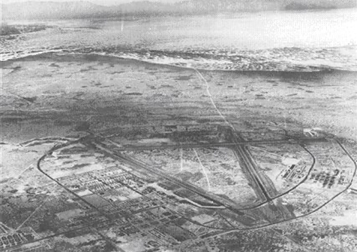
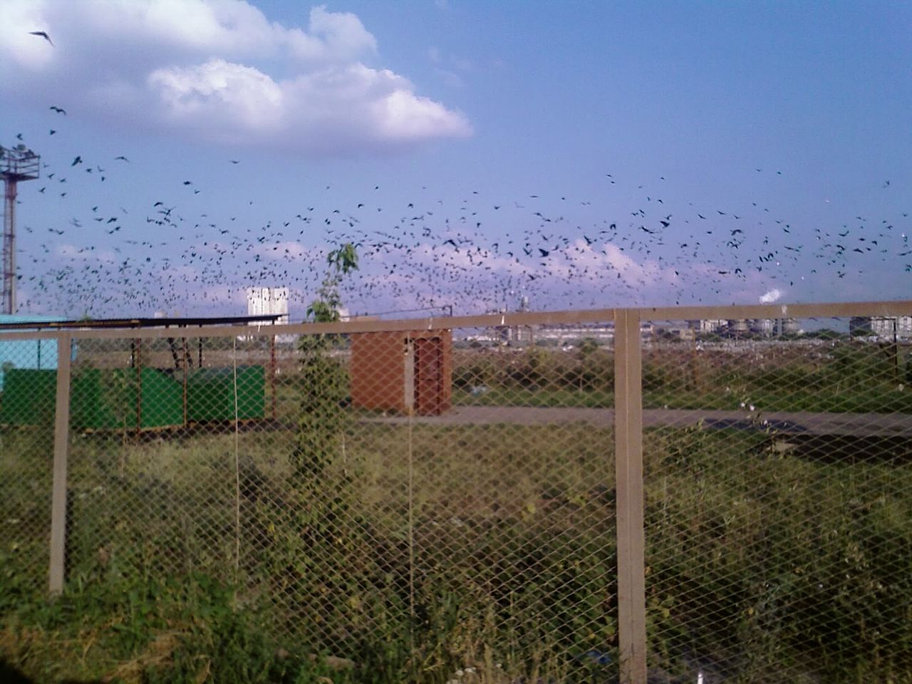
78°27′S, 106°50′E — East Antarctic Plateau — Russian research station; subglacial lake beneath ~4 km of ice
Every place, figure, and case as one graph. Drag to pan, click any node to enter.
By place — 49 real geographies
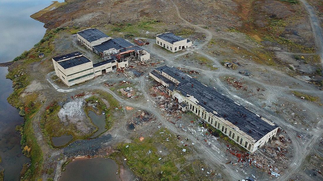
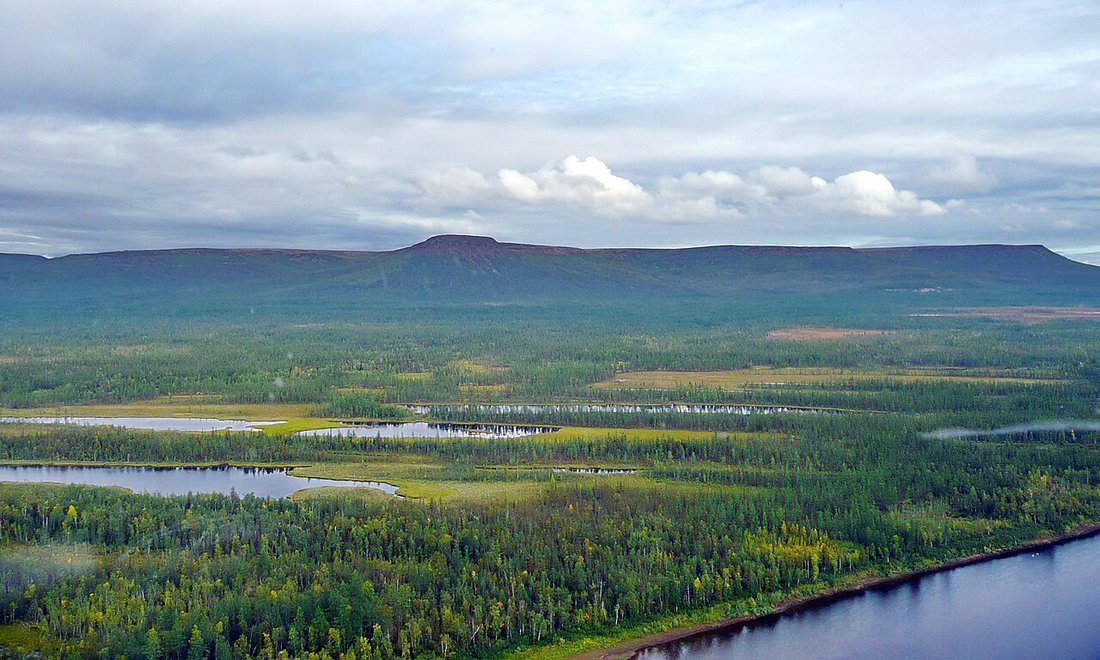
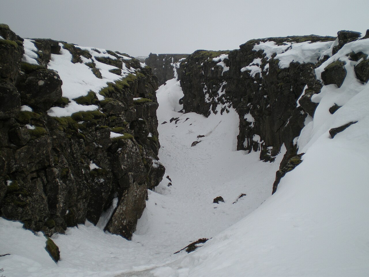
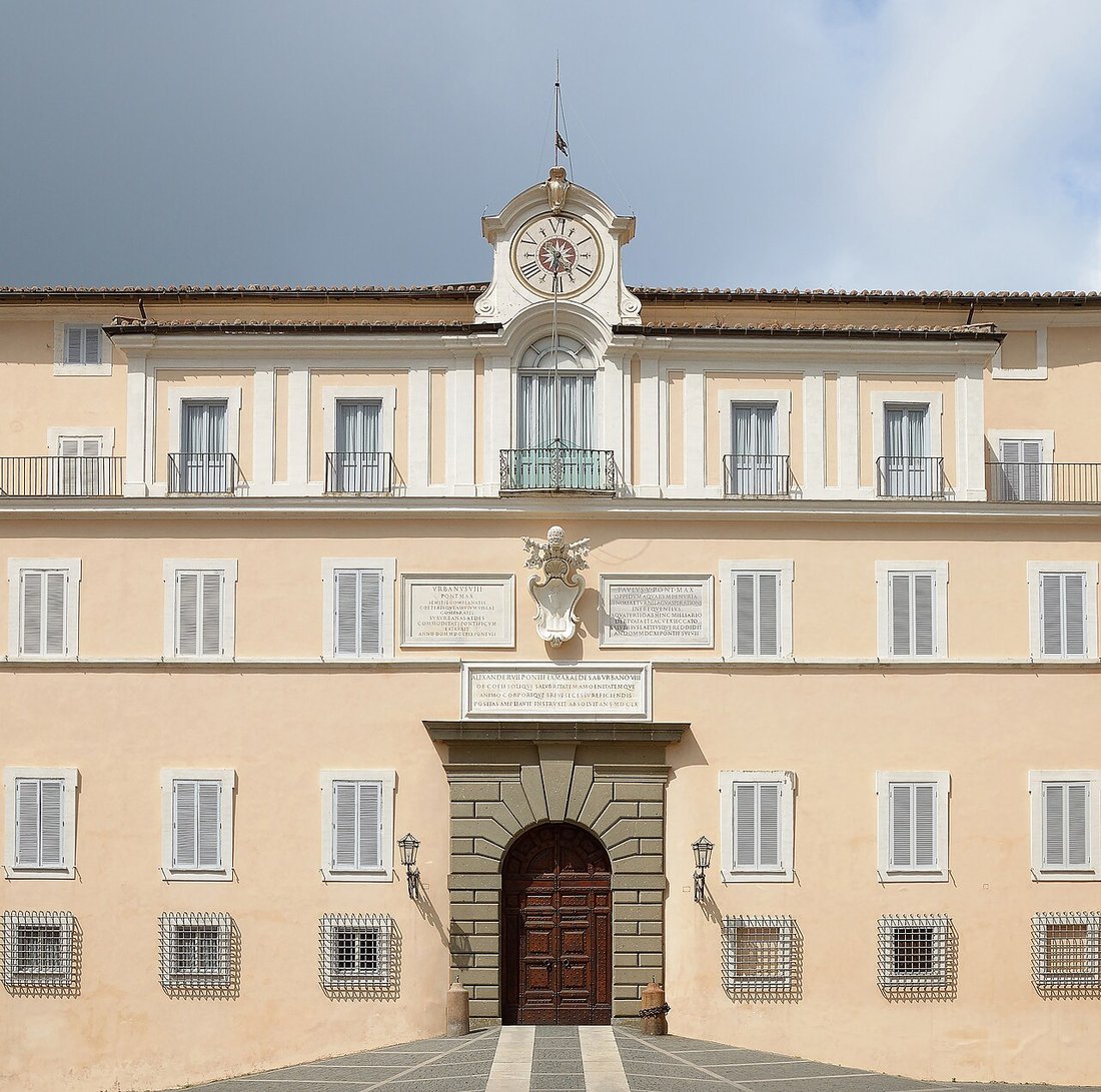
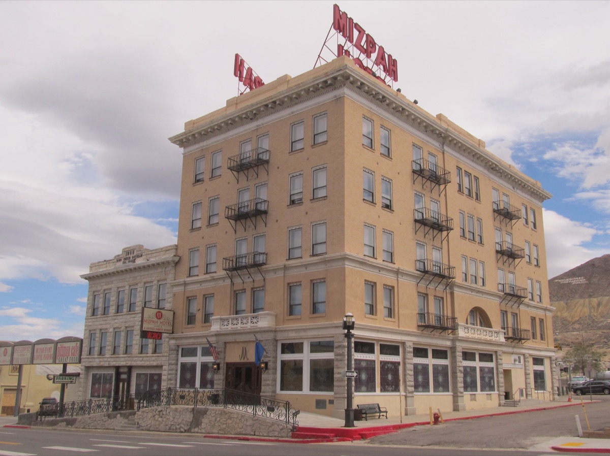
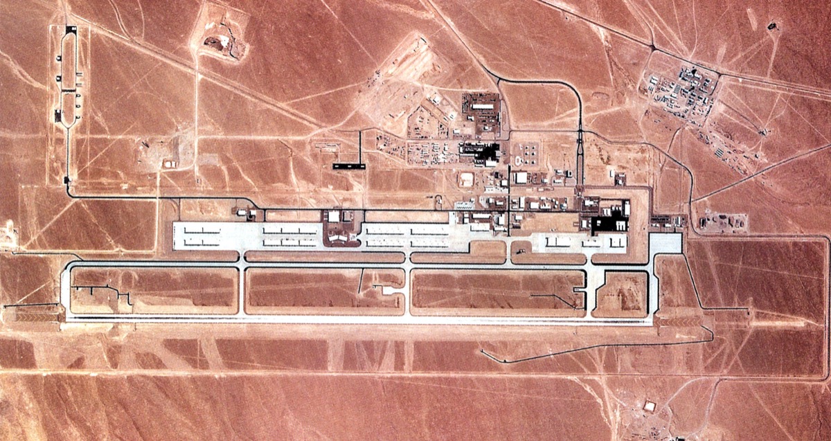
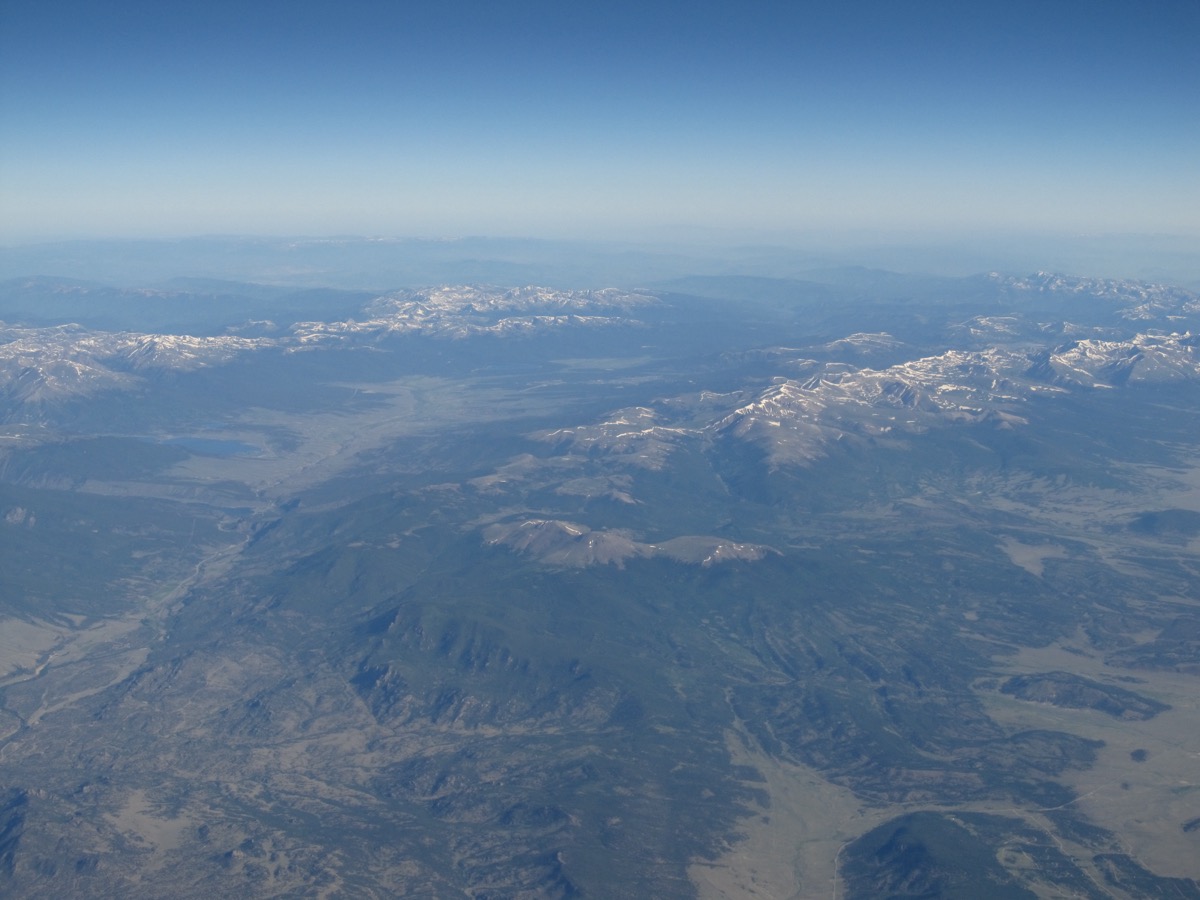
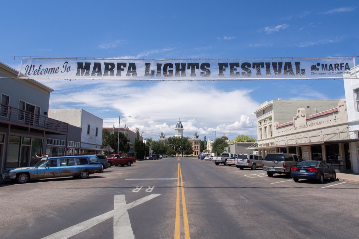
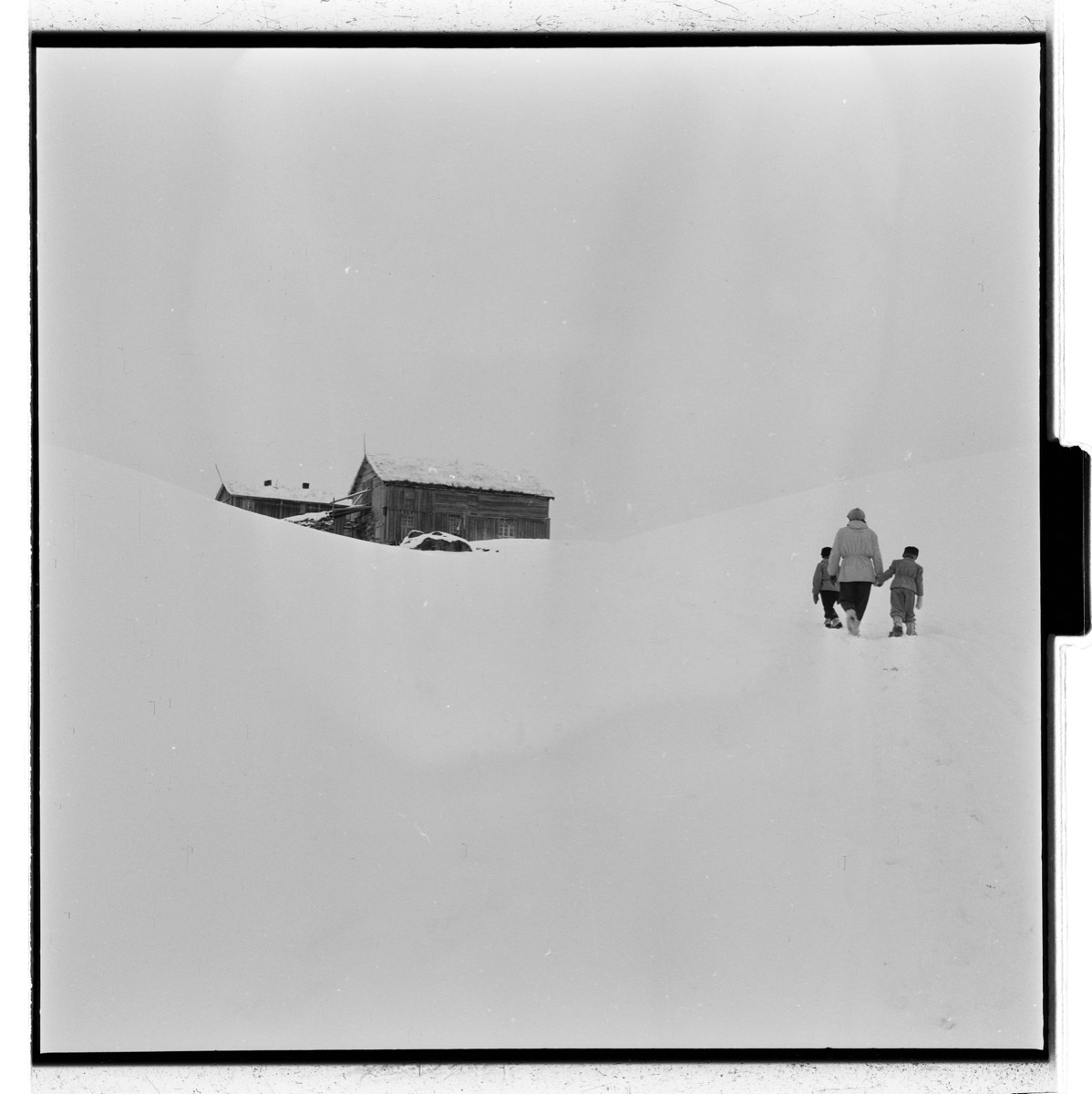
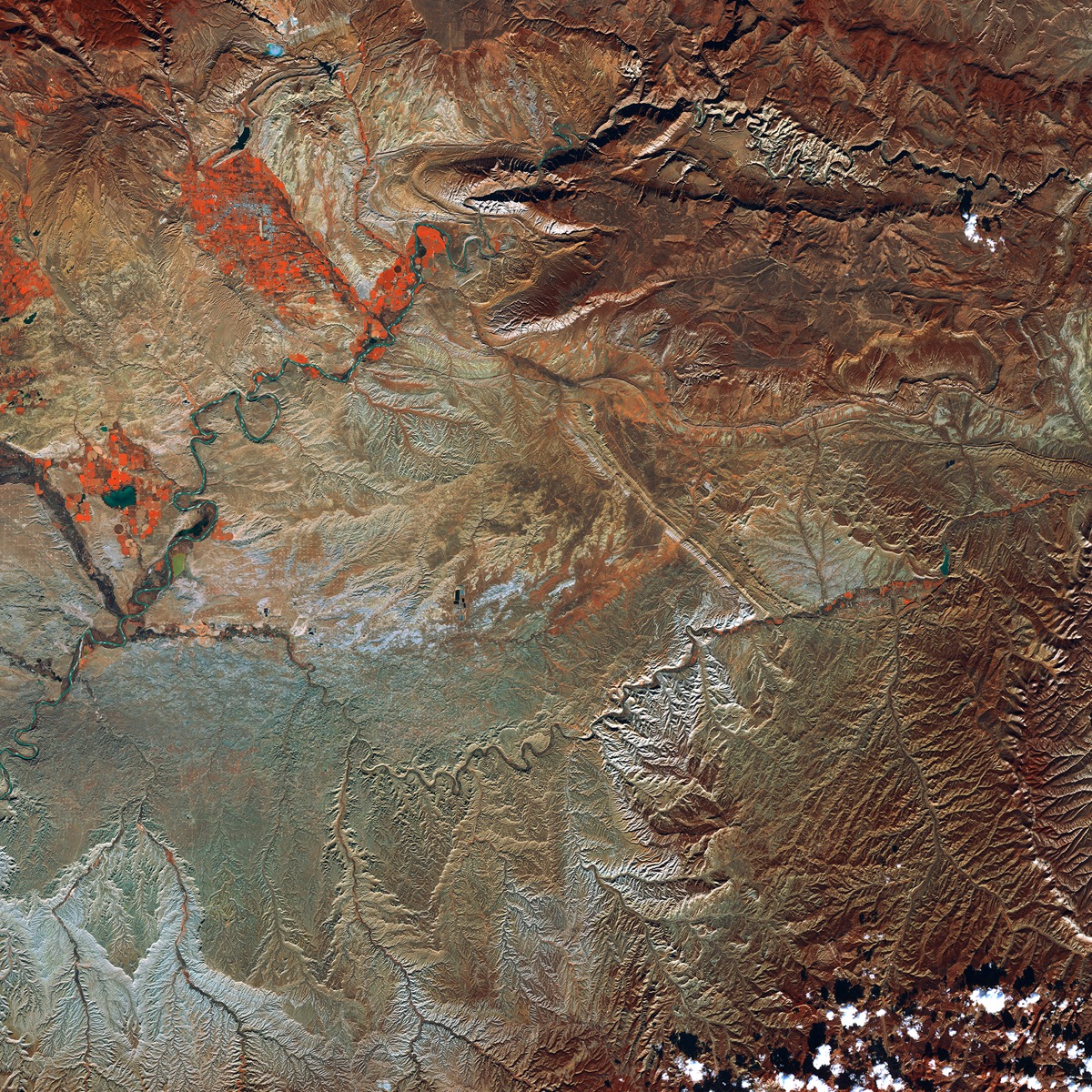
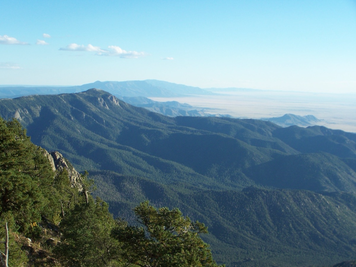
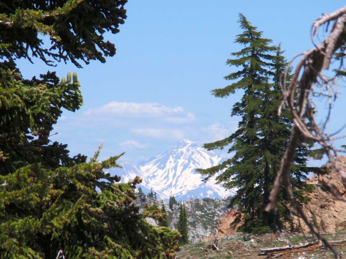
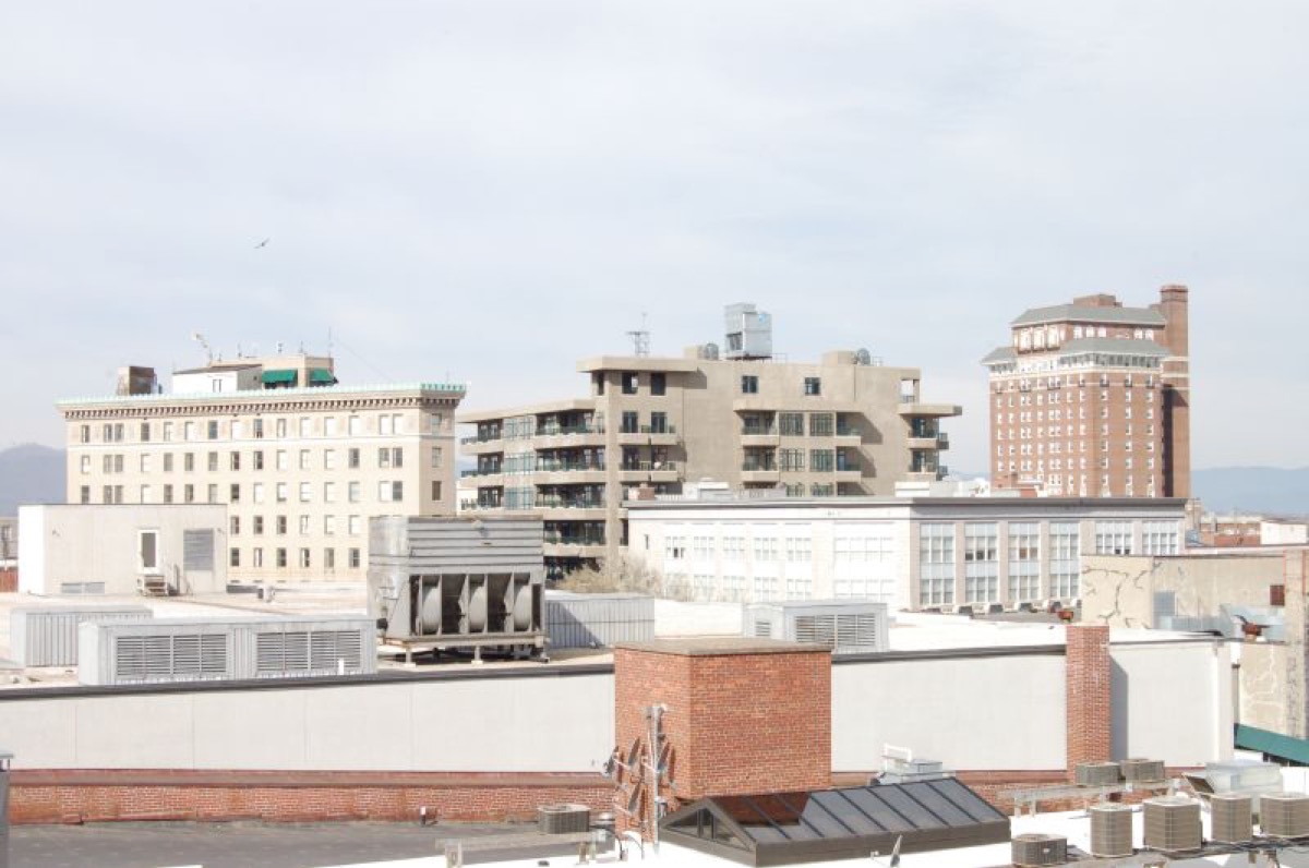
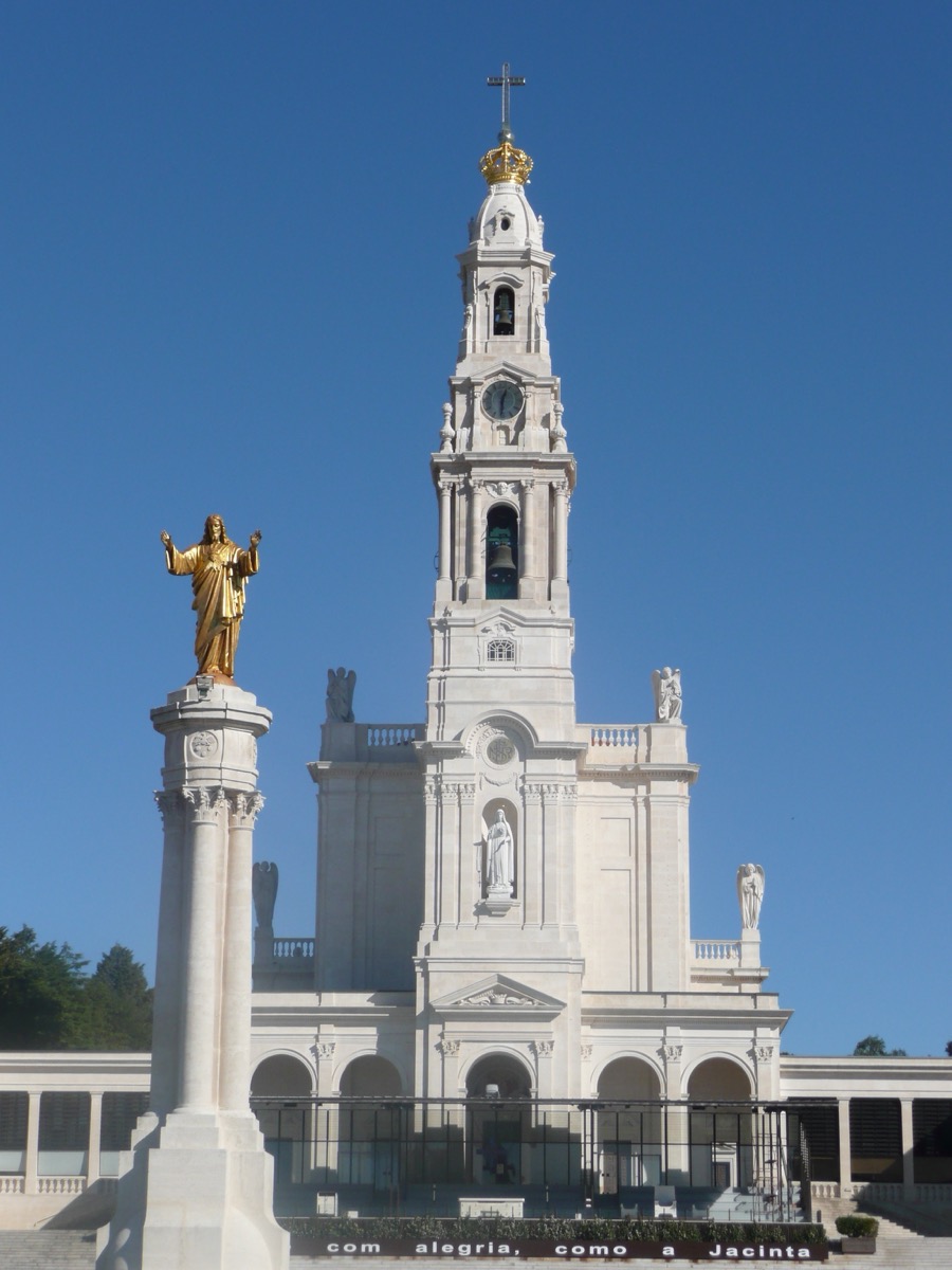
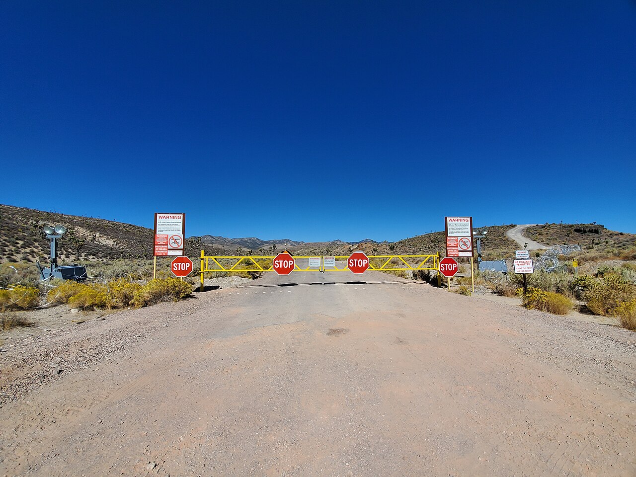
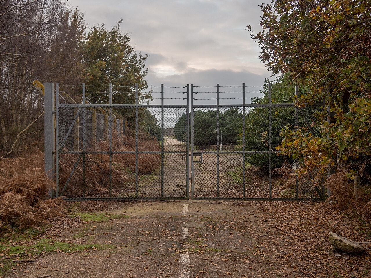
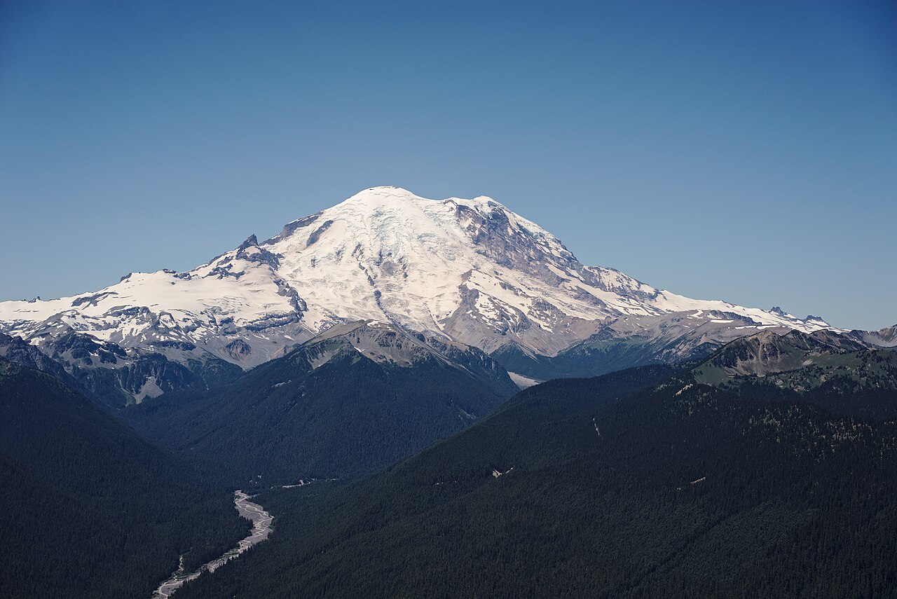
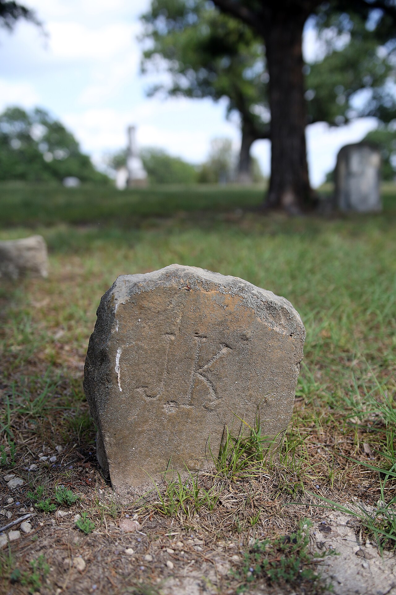
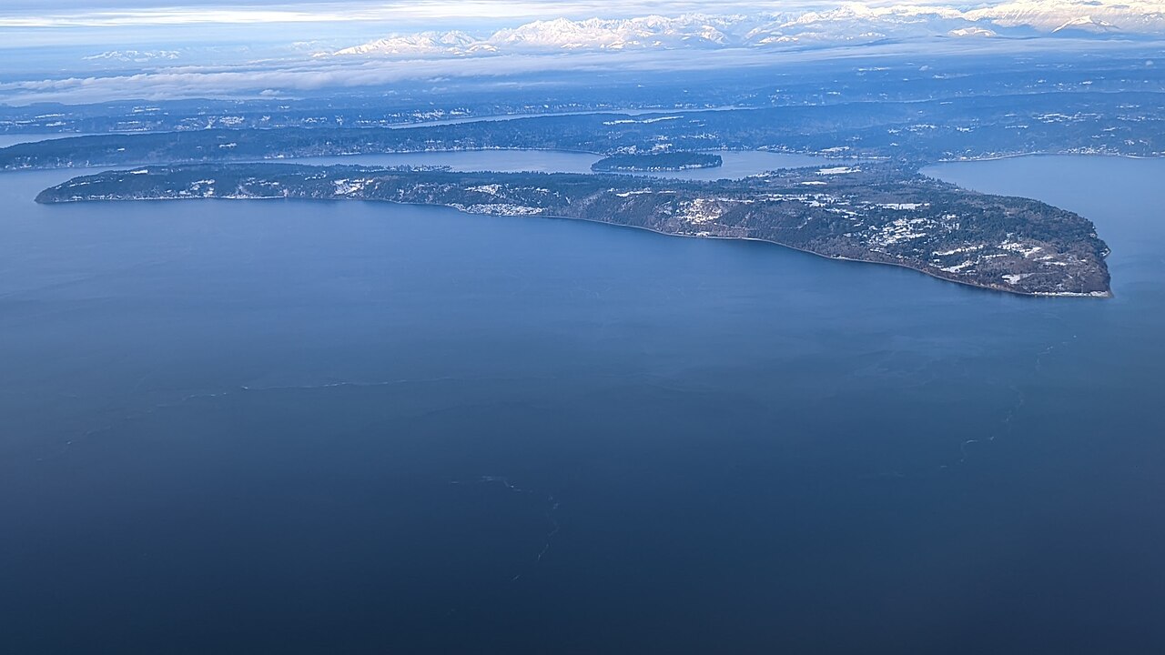
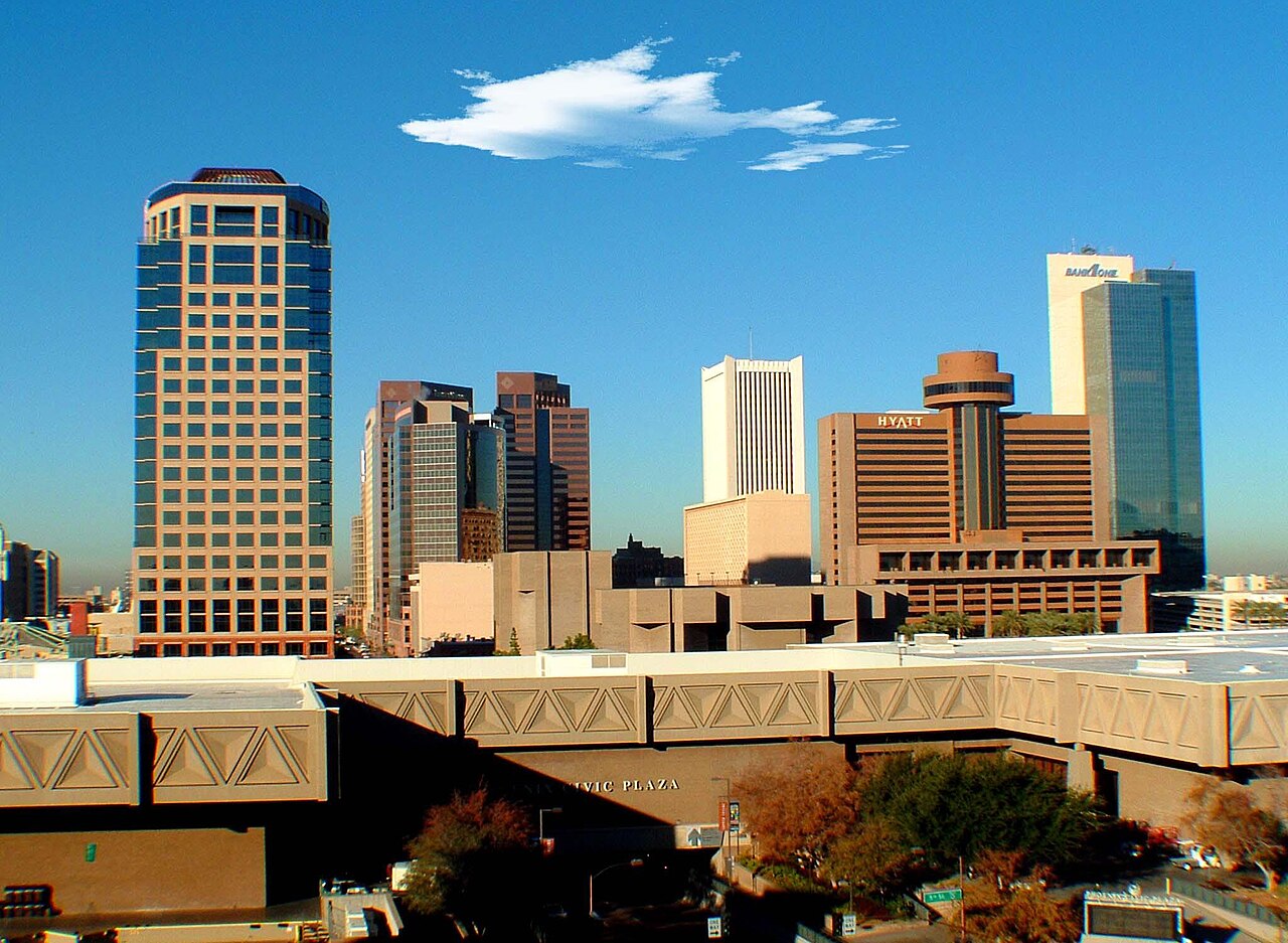
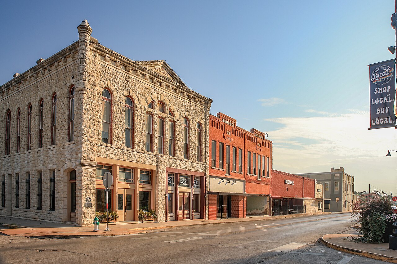
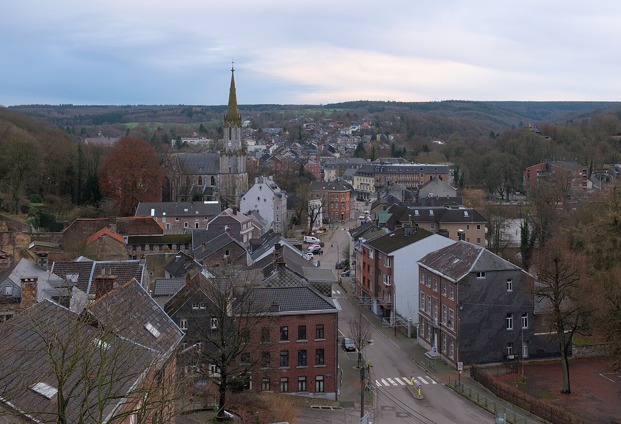
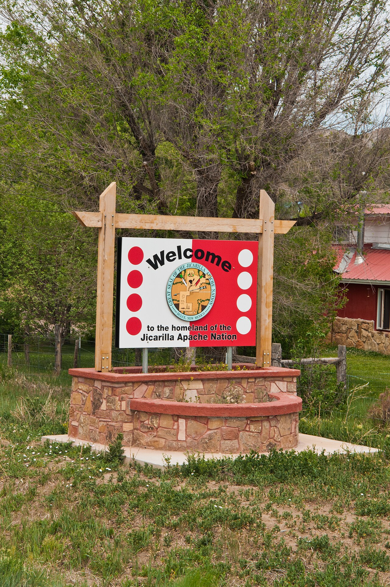
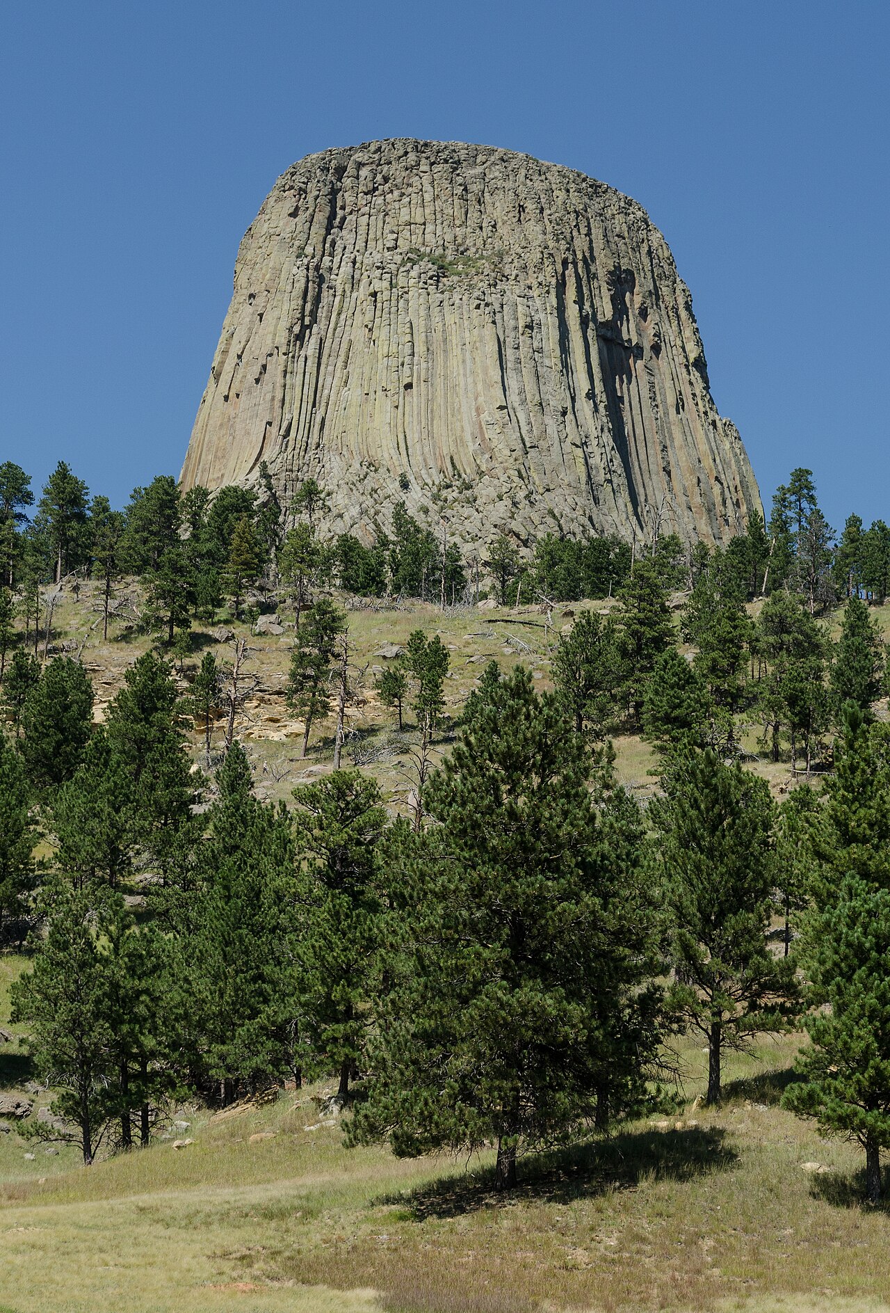
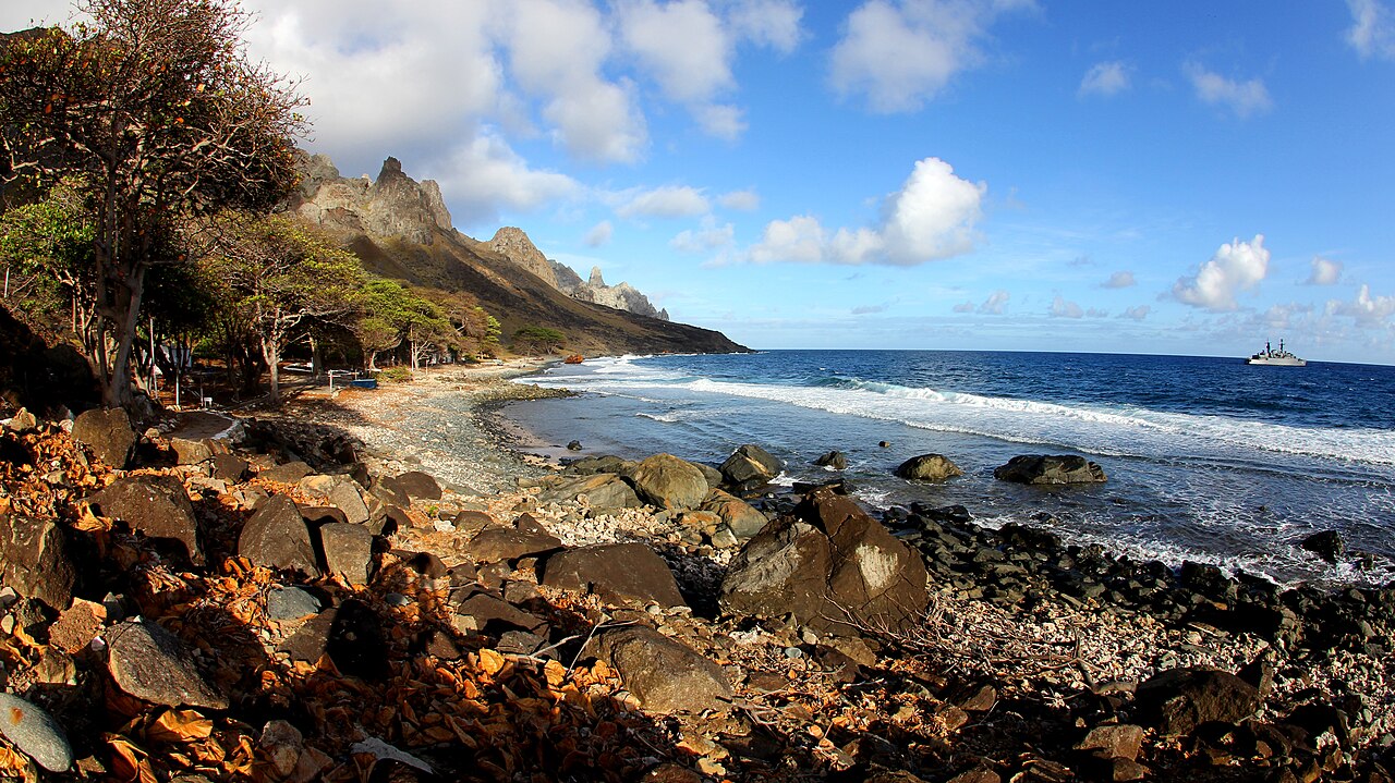
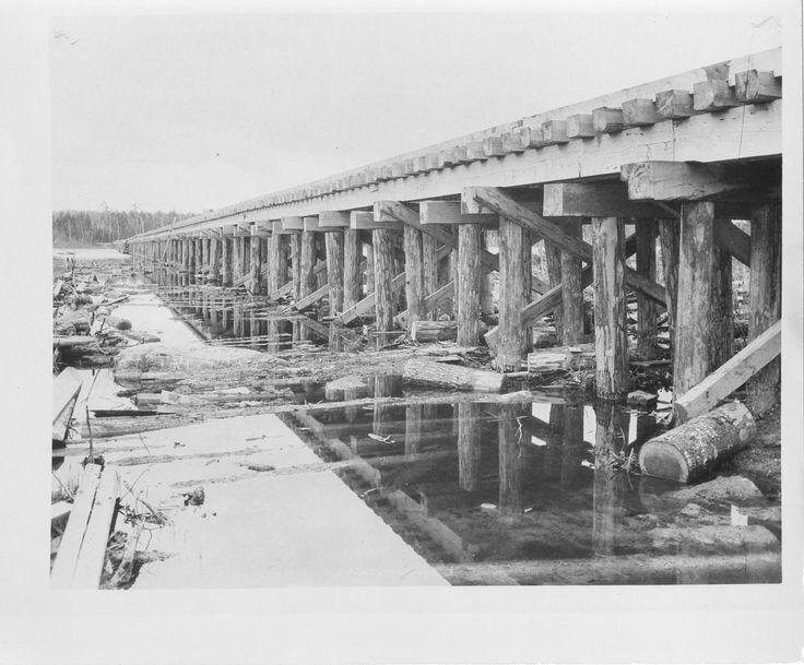
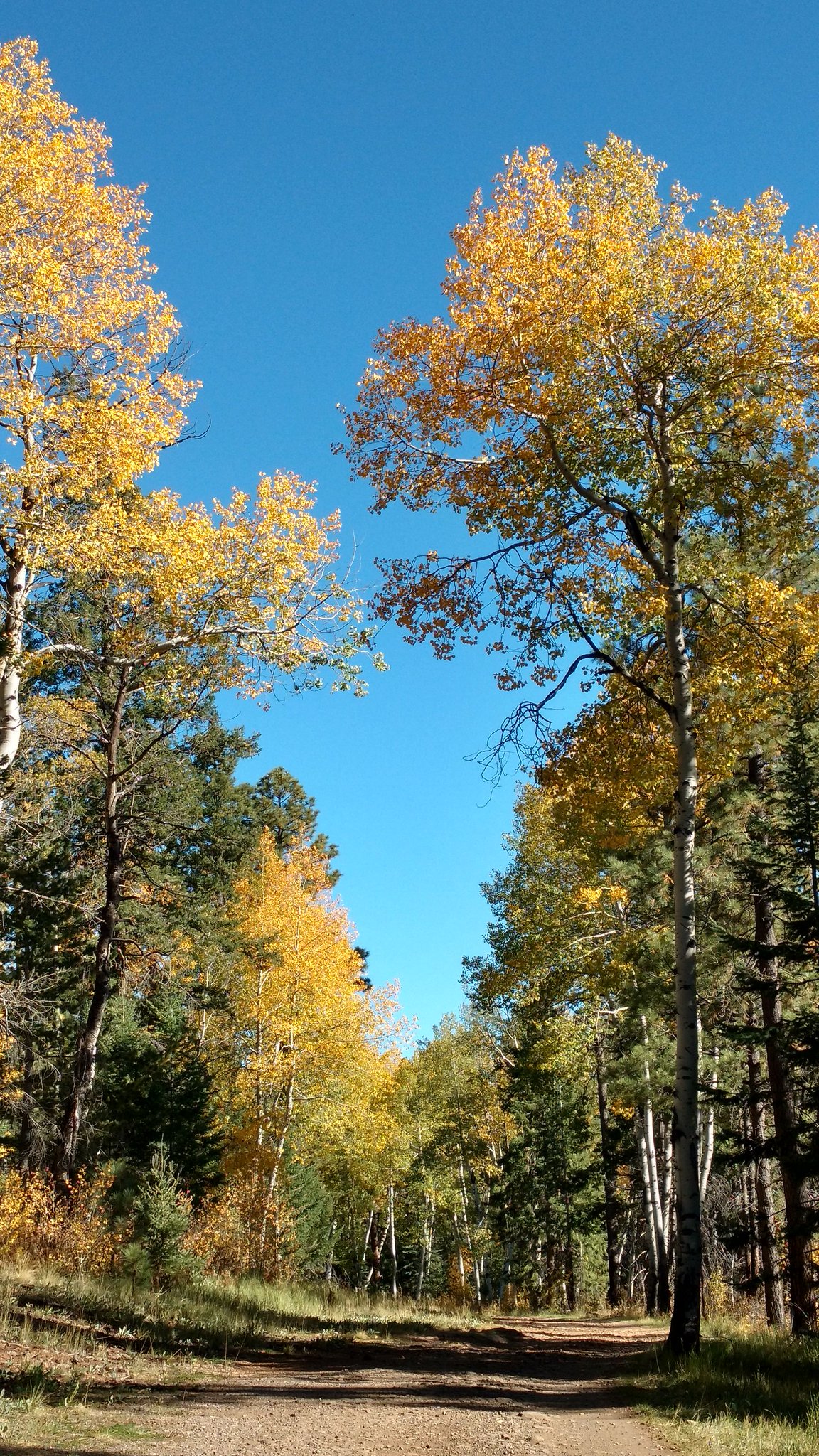
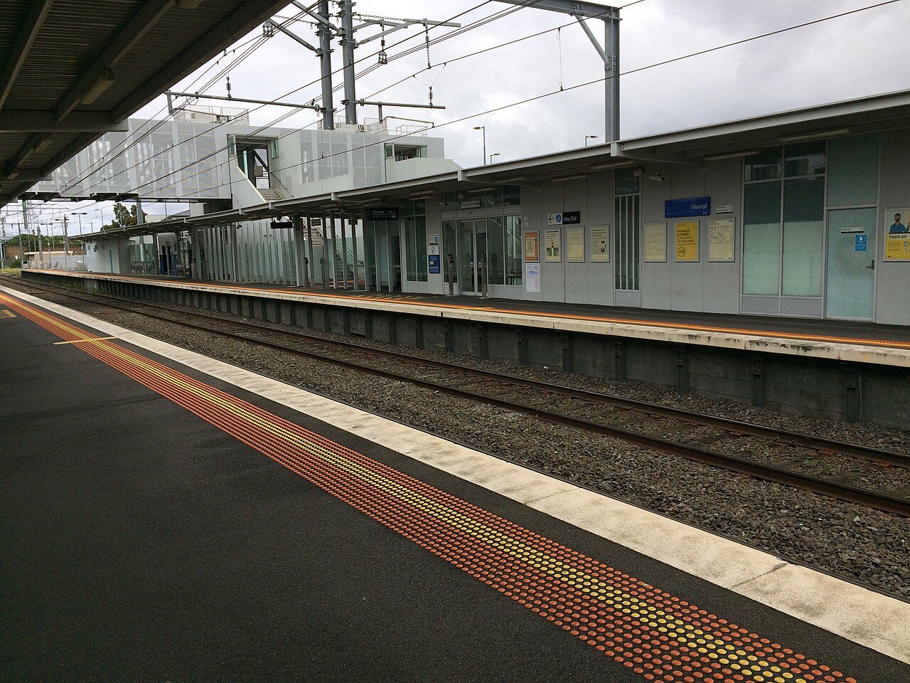
Photographs of the real sites named in the documented record. Vostok is in East Antarctica. Kola is a welded hatch on the tundra outside Zapolyarny. The Tibesti is in Chad. The strangeness is what gets added; the geography is shared.
By documented record — 92 public-record entries
What's already in the open record. Incidents with named witnesses, radar traces, FOIA returns and court filings. Investigators and officials who left documents. Ongoing phenomena reported by thousands across decades. → The creepiest of the creepy is a hand-curated rank-order of the items that hit hardest.
Incidents · 16
documented single events
- Ariel School, Zimbabwe (16 September 1994)
- Cash–Landrum Incident (29 December 1980)
- Ghost Rockets (1946)
- Kenneth Arnold sighting (24 June 1947)
- Lonnie Zamora / Socorro Incident (24 April 1964)
- Mantell Incident (7 January 1948)
- Phoenix Lights (13 March 1997)
- Rendlesham Forest Incident (26–28 December 1980)
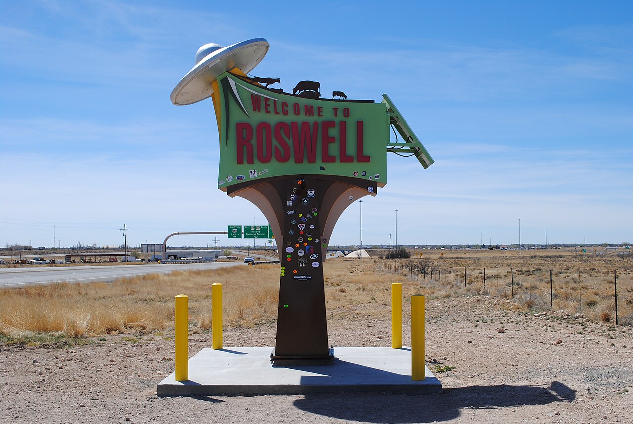
- Roswell Incident (July 1947)
- Stephenville, Texas (8 January 2008)
- Tehran F-4 Incident (19 September 1976)
- The Foo Fighters (1944–1945)
- USS Nimitz Tic Tac Incident (14 November 2004)
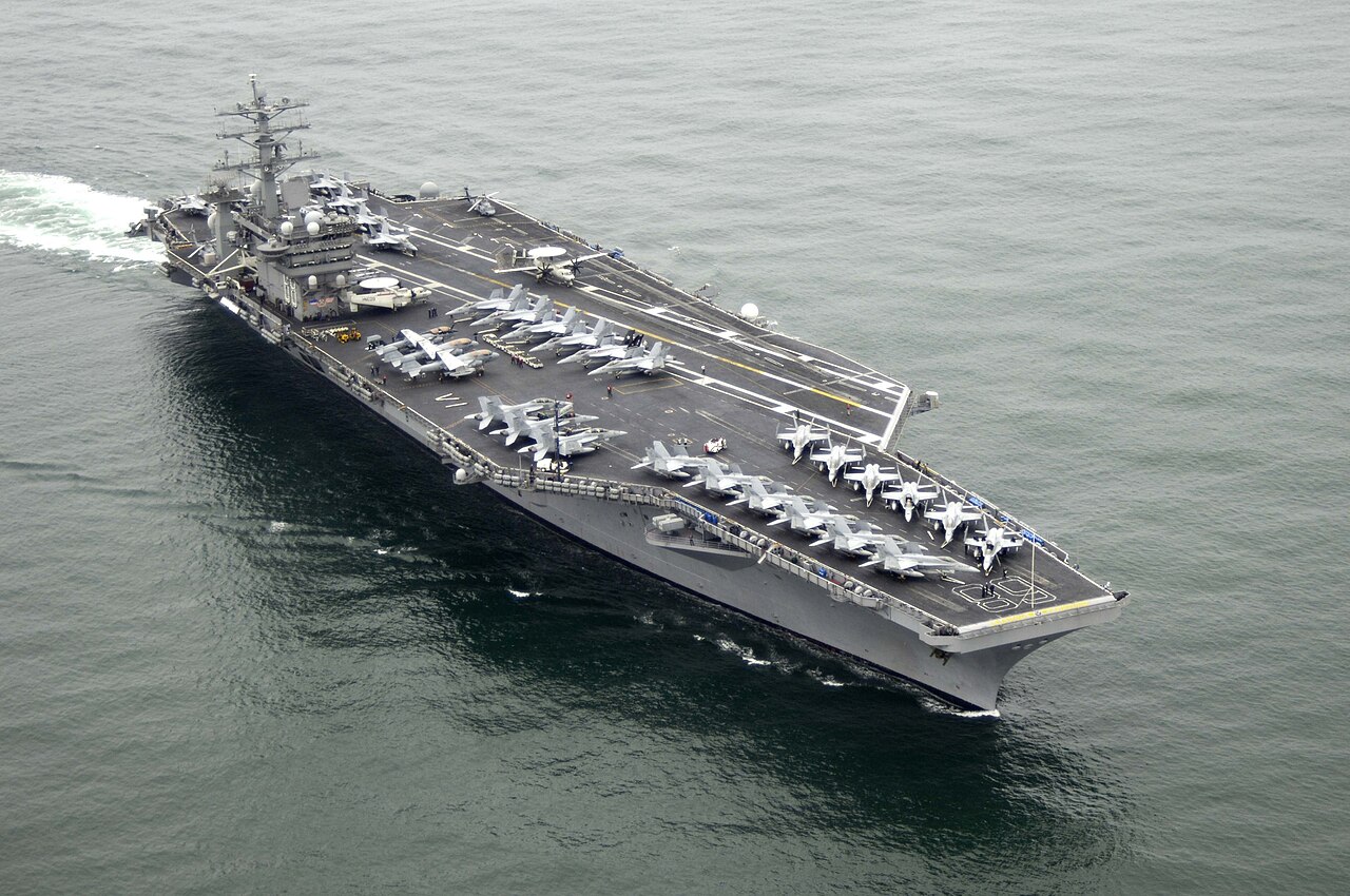
- USS Theodore Roosevelt encounters (2014–2015)
- Washington National Flap (19–20, 26–27 July 1952)
- Westall Incident (6 April 1966)
Sighting waves · 4
regional flap periods
Ongoing phenomena · 10
recurring patterns
Figures · 41
investigators · witnesses · officials
- Antônio Villas Boas (1934–1991)
- Betty and Barney Hill (1919–2004 / 1922–1969)
- Bob Lazar (b. 1959)
- Christopher Mellon
- Daniel Vasquez
- Daniel Wexler
- David Grusch (b. 1986)
- Diana Walsh Pasulka
- Donald Keyhoe (1897–1988)
- Eleanor Wexler
- Elin
- Eric Hauschild
- Frank Voss
- Frederick Valentich (1958–1978, presumed)
- Garry Nolan (b. 1961)
- Greta Pratt
- Hal Puthoff (b. 1936)
- Helen Carlyle
- J. Allen Hynek (1910–1986)
- Jacques Vallée (b. 1939)
- Joan Whitfield
- John E. Mack (1929–2004)
- John Roberts
- Kit Green
- L. ▆▆▆▆▆▆▆▆
- Luis Elizondo
- Maren Sandberg
- Marina Hauschild-Bell
- Marina Hauschild-Bell
- Marisol Marquez
- Pat Donohoe
- Paul Bennewitz (1927–2003)
- Pop Marquez
- Reema Iyer
- Robert Bigelow (b. 1945)
- Sshenn-vu
- Stanton Friedman (1934–2019)
- Travis Walton (b. 1953)
- Veth-skenn
- Whitley Strieber (b. 1945)
- William Carlyle
Investigations · 7
official inquiries and programs
Disclosure events · 2
public-record revelations
Revealed hoaxes · 1
examined and disproven
Historical cases · 11
specific documented files